Initial measurements before start of ScanEx fieldwork

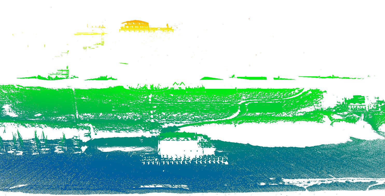
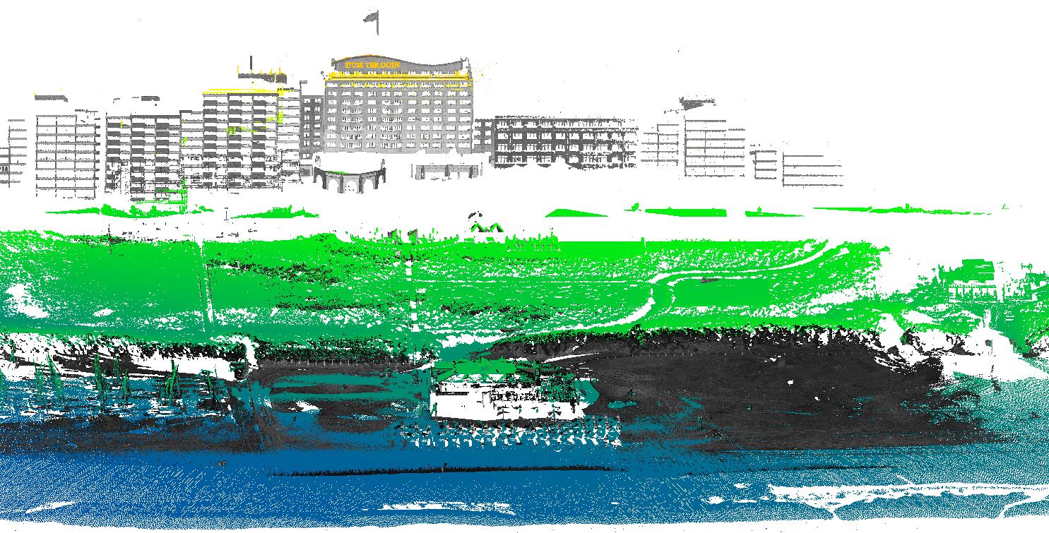
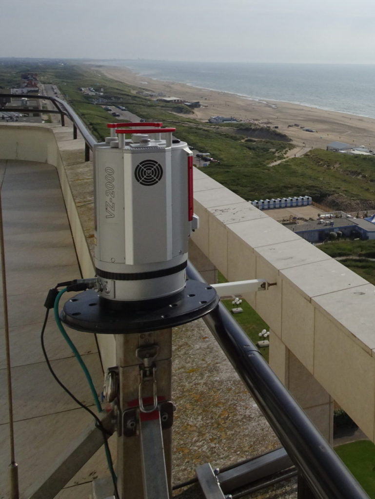
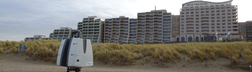
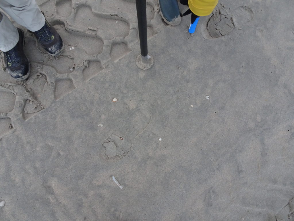
On 30 January we did some initial measurements before the official start of the ScanEx Fieldwork campaign in February. There was strong wind and lots of aeolian transport was visible. We collected sand samples and data with moisture sensors, GPS receivers and with our second laser scanner.

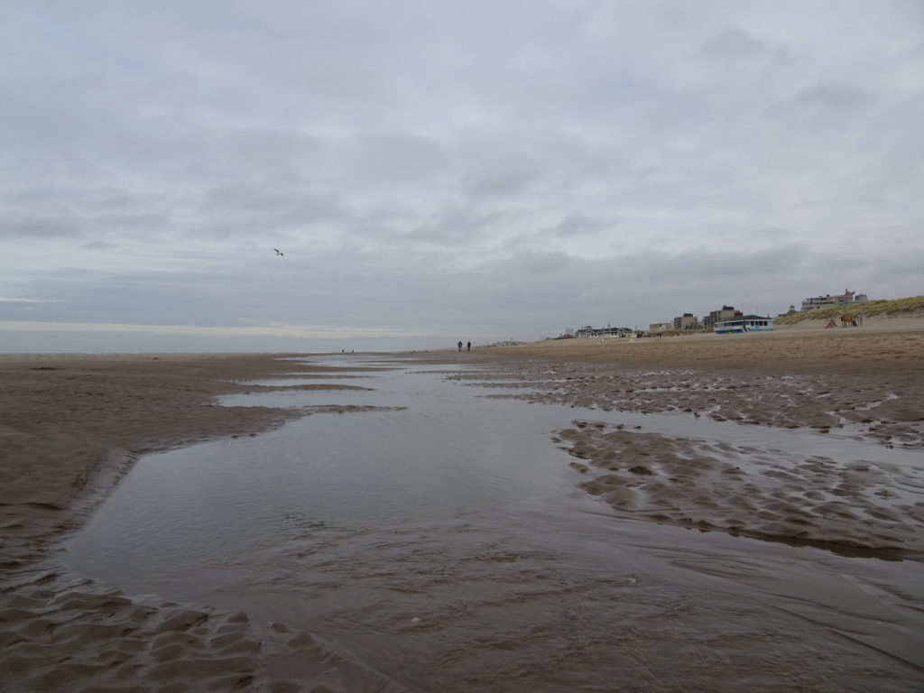
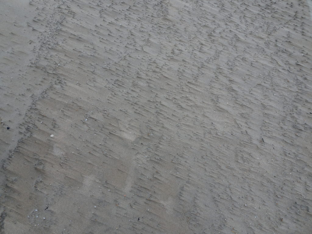
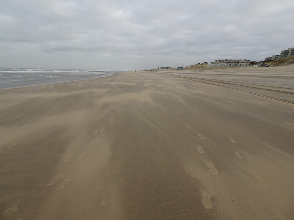
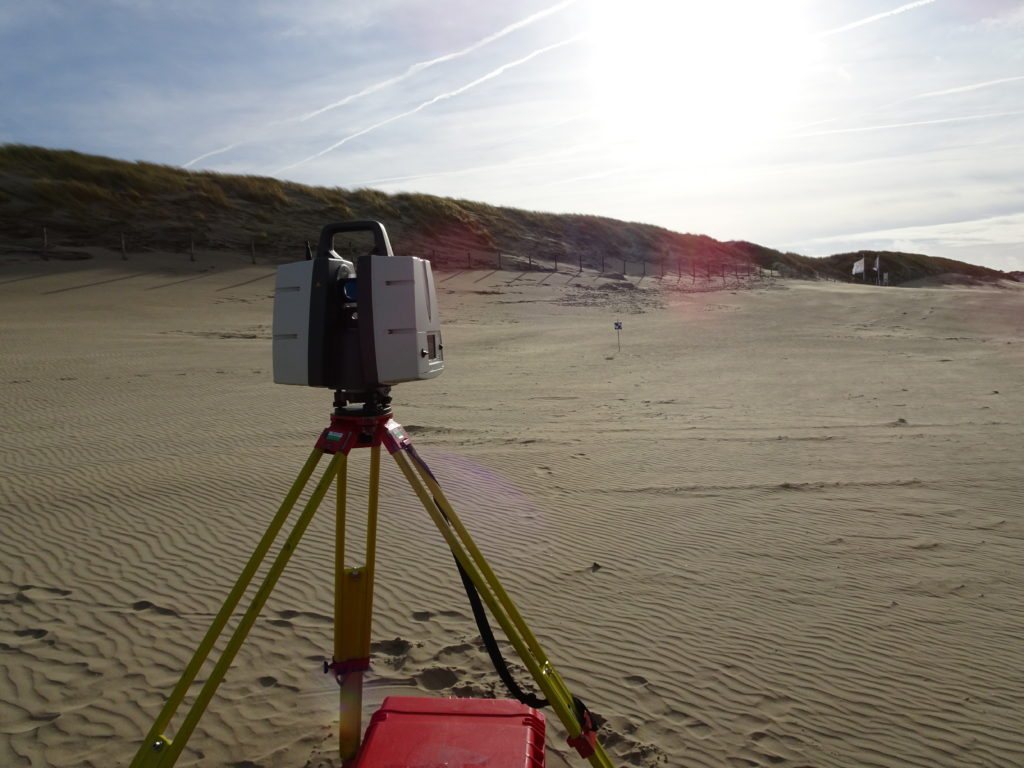
We are interested in measuring changes in elevation, soil moisture and surface roughness, as well as analyzing underlying processes like tides and aeolian sand transport.

First impression of Noordwijk data

A first impression of the data taken from our current permanent set up of the laser scanner on the balcony of Hotel Huis ter Duin in Noordwijk. The left image shows the data collected with the permanently mounted laser scanner colored according to height. The gaps appear where the scanner cannot see the facade of the building and where the dune block the view on the beach. Once a month we use a second terrestrial laser scanner to collect data in these areas blocked from the view of the laser scanner. In this way, we can fill up the gaps as shown in the picture on the right.

Scanner set-up Noordwijk

The laser scanner was set up in Noordwijk on the balcony of the top floor of Hotel Huis ter Duin in July 2019. From there the laser scanner will collect data for two years and generate our largest data collection.

In the field of view are natural dunes, the beach the intertidal zone and the beach café Breakers Beach House. The building will help with the alignment of the data and with monitoring of the data stability. It also gives the opportunity to observe the effects of bulldozers moving sand, which happens frequently around beach cafés along the Dutch coast.

Under construction

This website was started in January 2020. The CoastScan project already started with first preparations in 2016 and officially runs since the beginning of 2019. The news section still needs to be updated with previous and latest news.