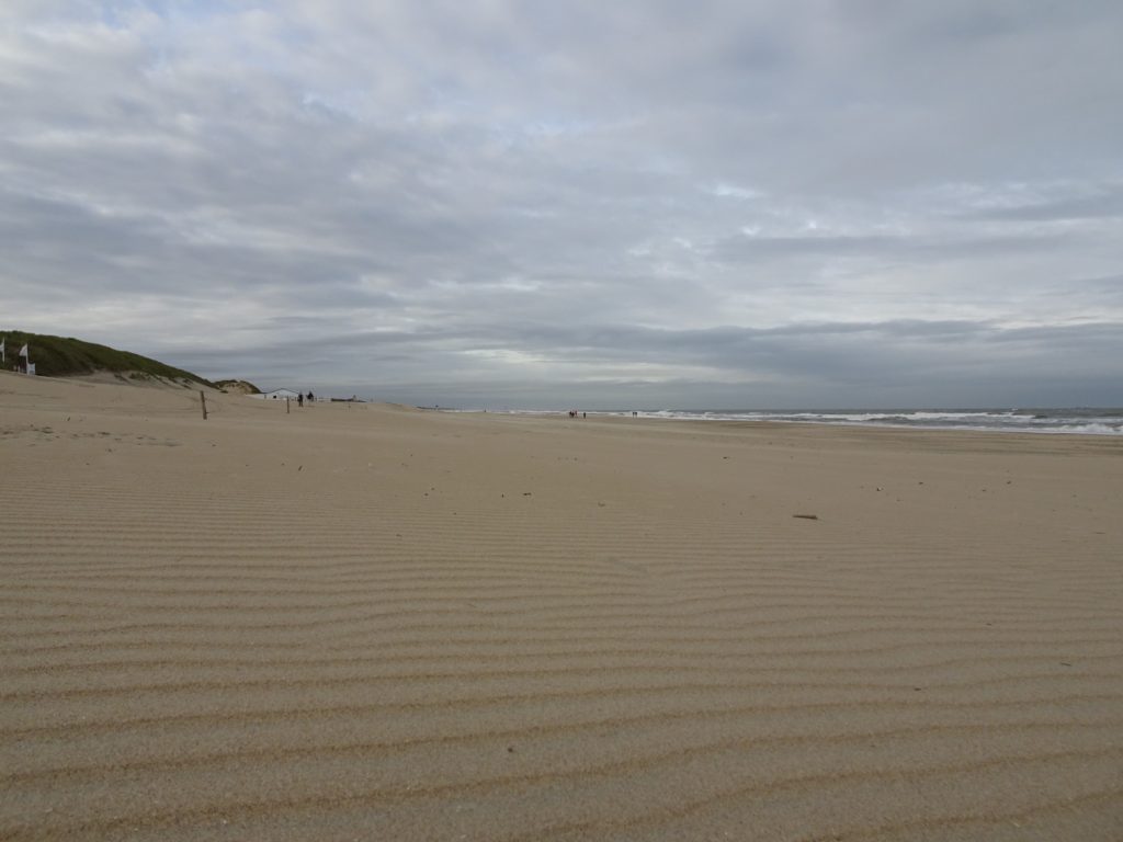
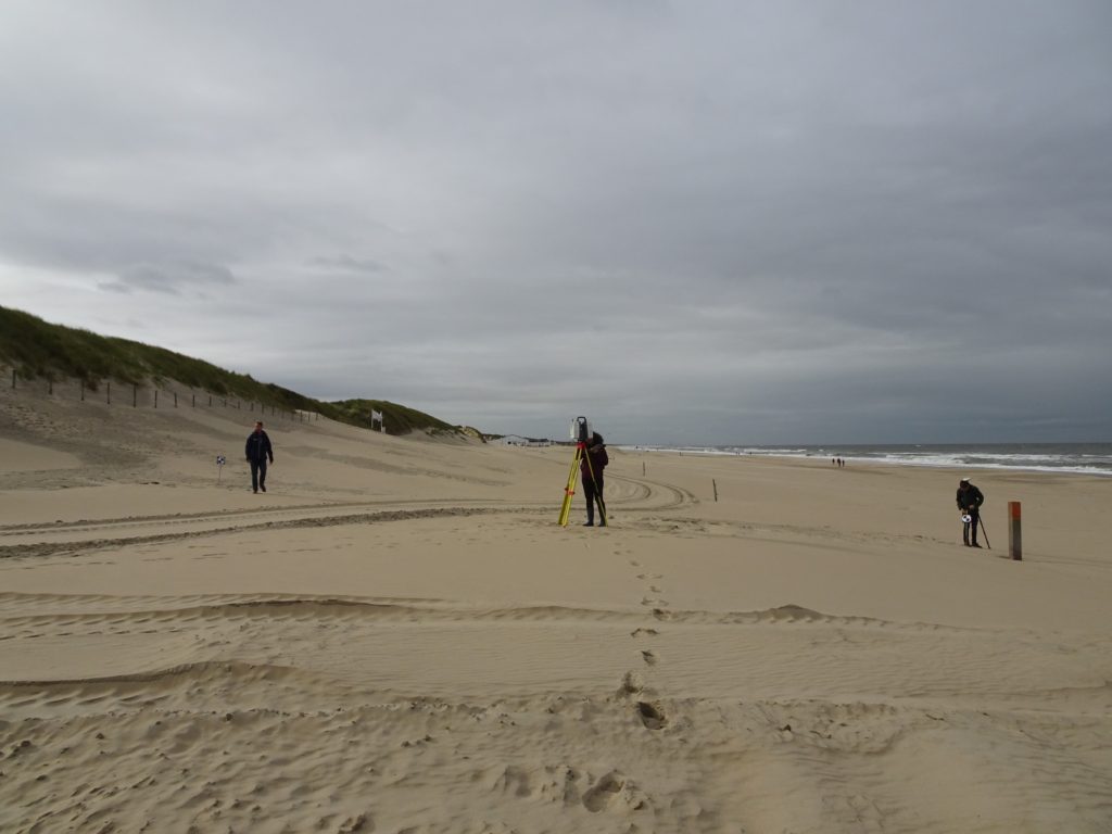
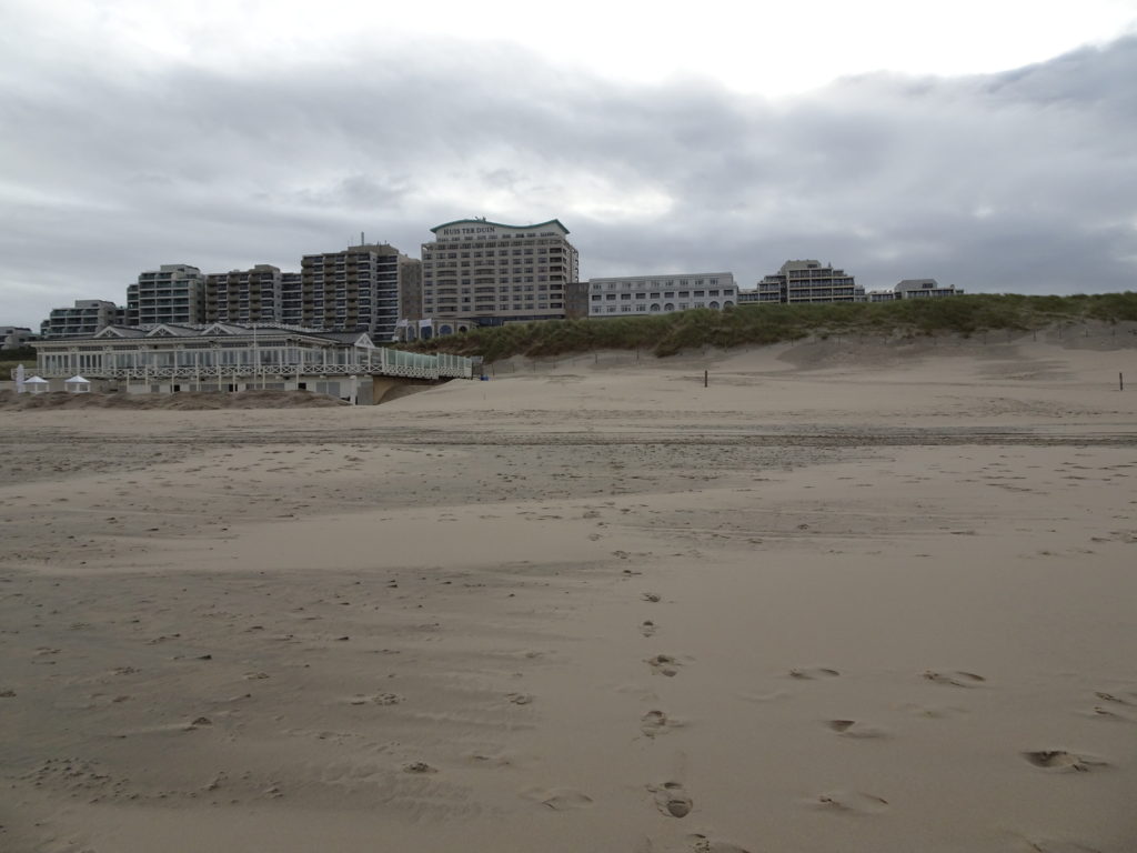
On 1st October 2021 we went with two students involved in the CoastScan project to perform our monthly scan from the beach. The dune foot is not captured by the permanent laser scanner in Noordwijk, so we regularly go to the beach to scan the dunes from the other side. K. Echeverry Caro works on filling these gaps in the data and quantifying the differences that they cause for her Bachelor thesis.
Monthly Archives: October 2021
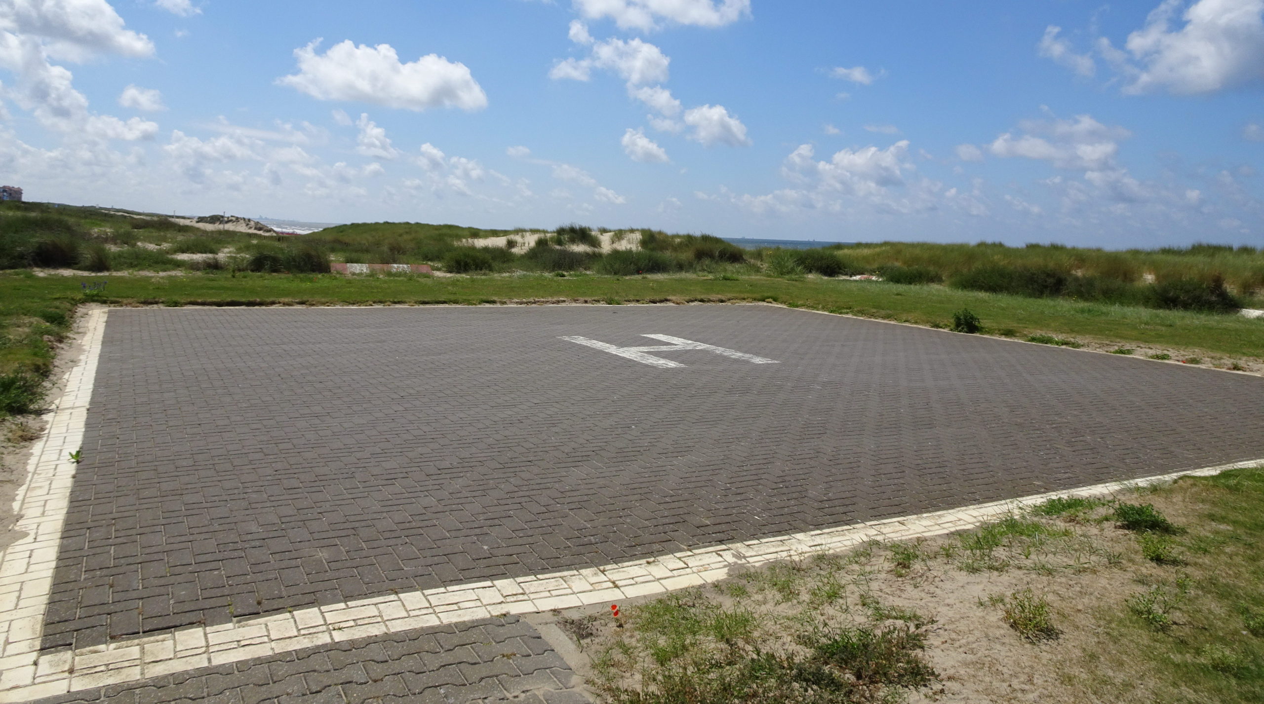
Helicopter scanned
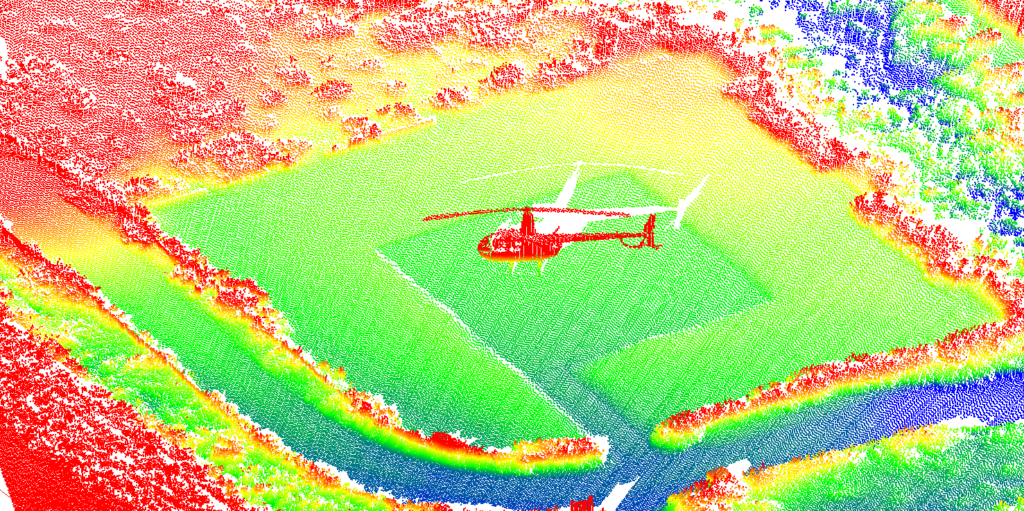
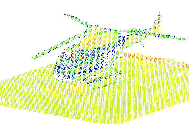
Part of the observed area in Noordwijk contains a helicopter platform in the dunes. Our research into data quality is making use of this platform as a reference surface (publication). During our research we found two helicopters that landed on the platform at two different occasions in September 2019 and in August 2020. Above the point clouds of the landed helicopters are shown colored according to elevation (left) and intensity (right).