NRC released a news item discussing our NWO CoastScan project, on the occasion of the newly published paper by Mieke Kuschnerus and others:
Category Archives: Noordwijk
New publication available
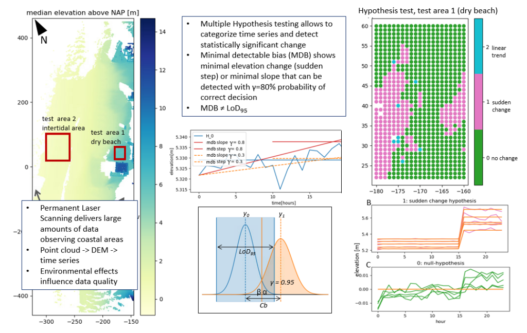
Our article in the ISPRS Open Journal of Photogrammetry and Remote Sensing with the title ‘Statistically assessing vertical change on a sandy beach from permanent laser scanning time series’ (by M. Kuschnerus, R. Lindenbergh, S. Vos, R. Hanssen) is now available: https://www.sciencedirect.com/science/article/pii/S2667393223000261?via%3Dihub
New publication of data set from Noordwijk:
Combined datasets for the article “Asynchronous dune development on a Dutch urbanized beach due to buildings and other anthropogenic influences”
doi:10.4121/05477395-f4fe-46dc-bed9-89da04c073cd.v1
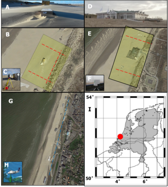
S. Vos, C. van IJzendoorn, R. Lindenbergh and A. de Wulf published a part of the CoastScan data set as processed for the research article: “Asynchronous dune development on a Dutch urbanized beach due to buildings and other anthropogenic influences” via 4TU.ResearchData
Noordwijk Data Set Published
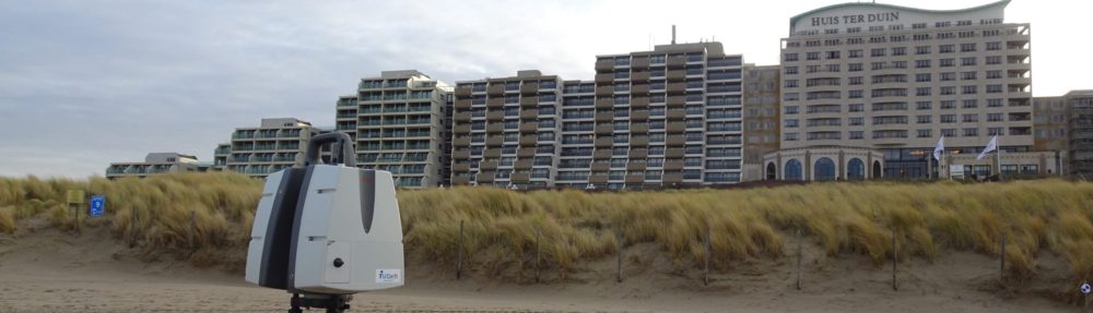
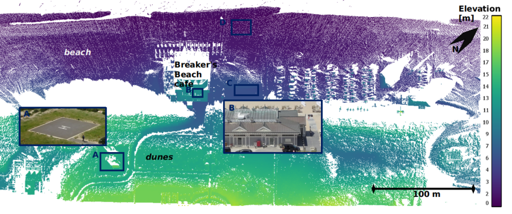
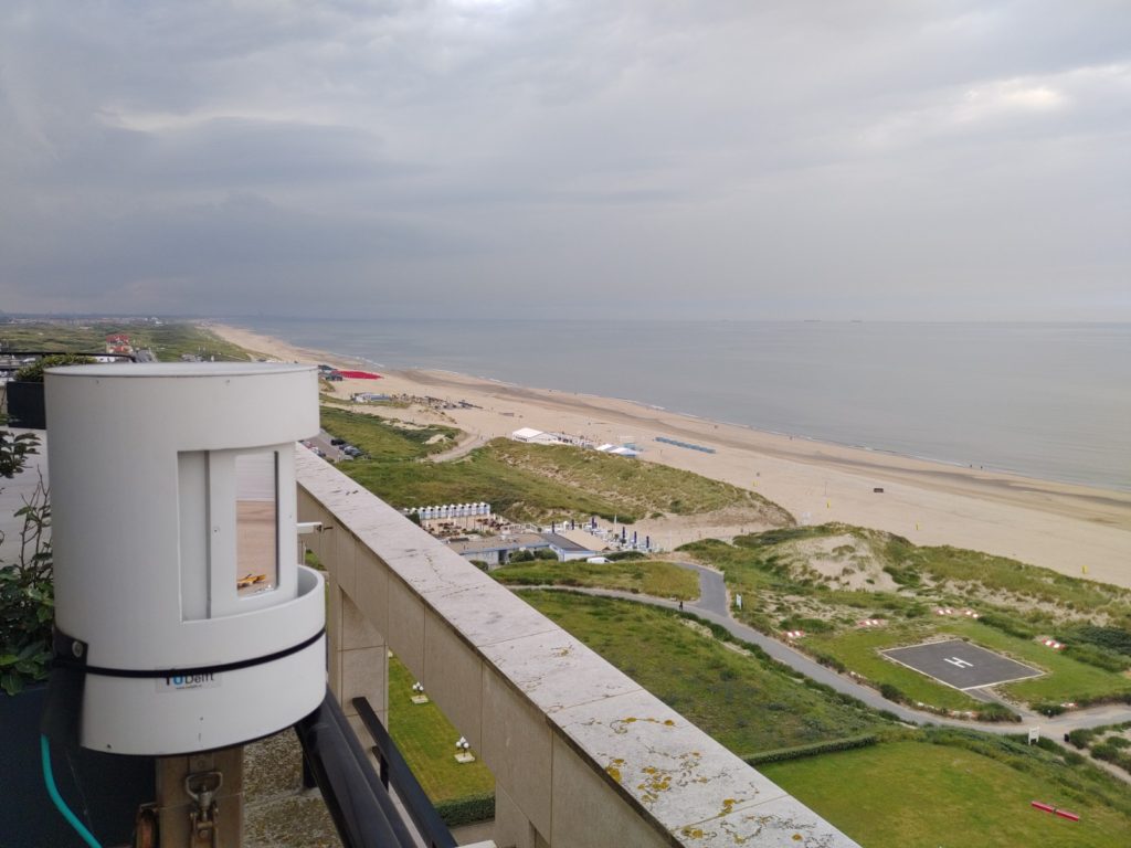
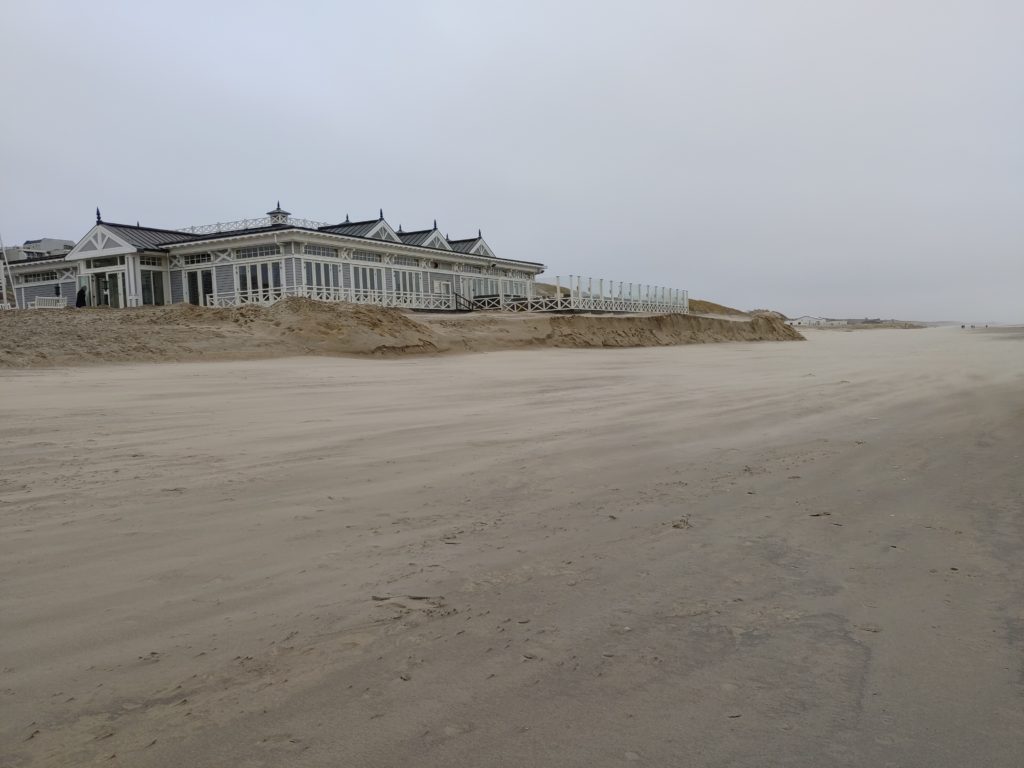
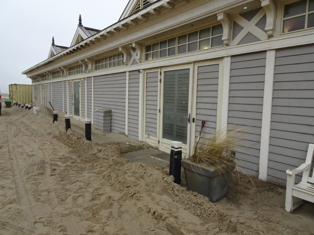
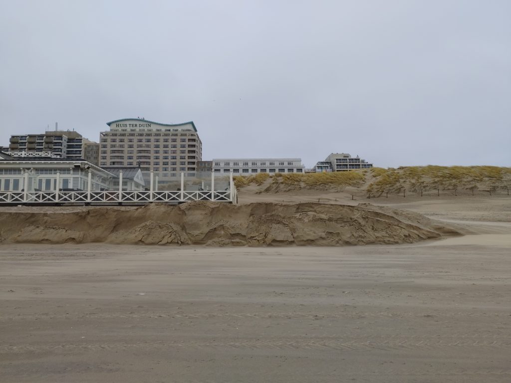
The entire PLS data set acquired in Noordwijk between 11 July 2019 and 21 June 2022 is now published via 4TU.ResearchData. The data set contains all point clouds from the hourly scans available over the three-year period. Each point cloud contains a ~1km long part of the coast (dunes and beach) in front of Grand Hotel Huis ter Duin in Noordwijk.
https://data.4tu.nl/datasets/1aac46fb-7900-4d4c-a099-d2ce354811d2/2
Published Article on Bulldozer Detection
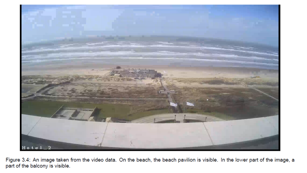
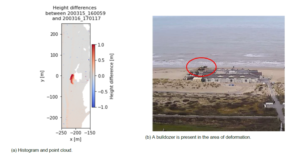
The article by I. Barbero-García was published in the International Journal of Applied Earth Observation and Geoinformation. It deals with the automatic detection of bulldozer works on the CoastScan study site in Noordwijk. The bulldozers are detected in images from video cameras and sightings are compared with changes detected in the 3D point clouds from permanent laser scanning.
Latest article mentioned by RIEGL
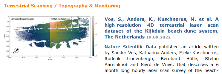
On the RIEGL website and in the RIEGL newsletter the latest publication by S. Vos et. al was mentioned, describing the CoastScan setup in Kijkduin and the 6-month data collection: Link to RIEGL-website. Next to a link to the publication in Nature Scientific Data, the text describes the motivation and highlights the specification of our RIEGL VZ-2000 laser scanner.
End of data recording in Noordwijk
On 21-06-2022 the last scans were taken from the scanner location in Noordwijk. The scanner was removed in the following days and is sent for maintenance to the manufacturer. We thank Hotel Huis ter Duin for their cooperation and are now working on processing the collected scans of the past three years.
Final presentations of CoastScan Bachelor Students
D.A.J. van Dieren: Anthropogenic beach deformations – Characterizing anthropogenic beach changes using laser scan and video data
D. Madi: Comparing the effects of winter storms Corrie and Eunice on Noordwijk using laser data
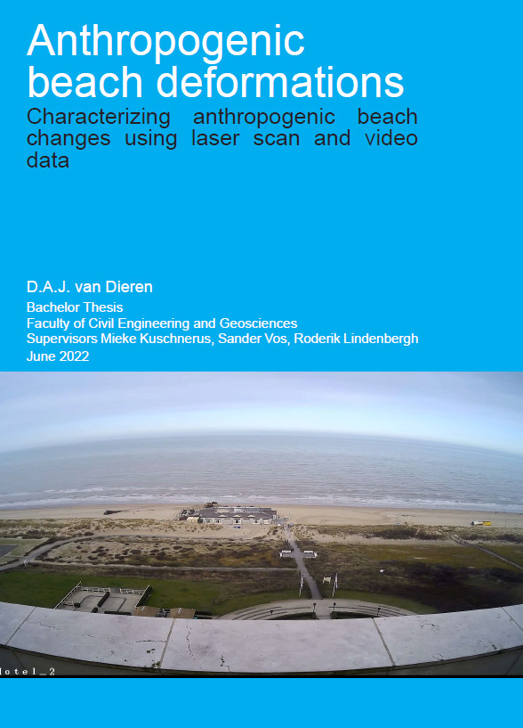
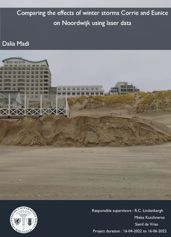
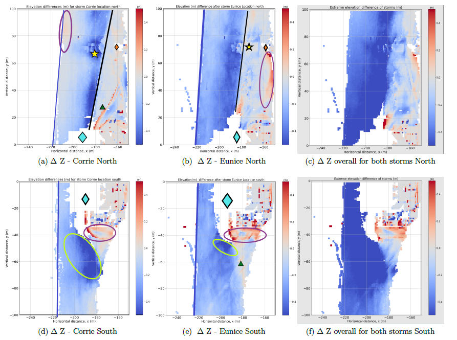
Debora van Dieren and Dalia Madia have successfully completed their final Bachelor projects and presented their results on June 16th. They used our CoastScan data set to quantify storm damages (Dalia) and detect anthropogenic activities (Debora). Congratulations to both!
Three new student projects about 3D surveying of the coast in Noordwijk
On 22 Feburary 2022 three groups of students went to the beach in Noordwijk to collect data for the course 3D-surveying of Civil and Offshore Infrastructure at TU Delft by R. Lindenbergh. The students study how to extract terrain at the beach and how sand-shapes appear from aeolian transport. Another group compares photogrammetry data and laser scanning data of the beach and dunes.
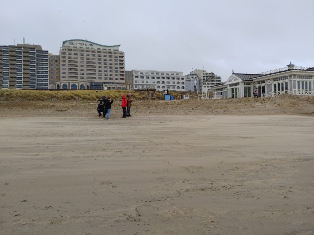
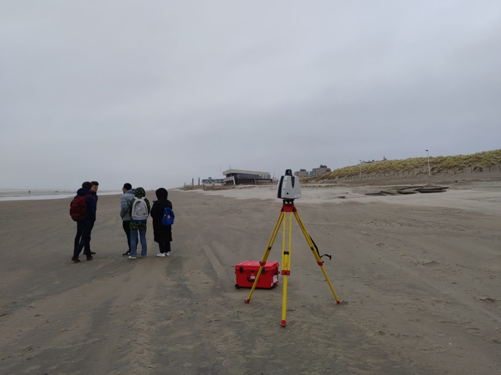
Lot’s of ‘flying sand’ called aeolian sand transport could be observed and will be studied with the help of the collected data.
Three storms in a row
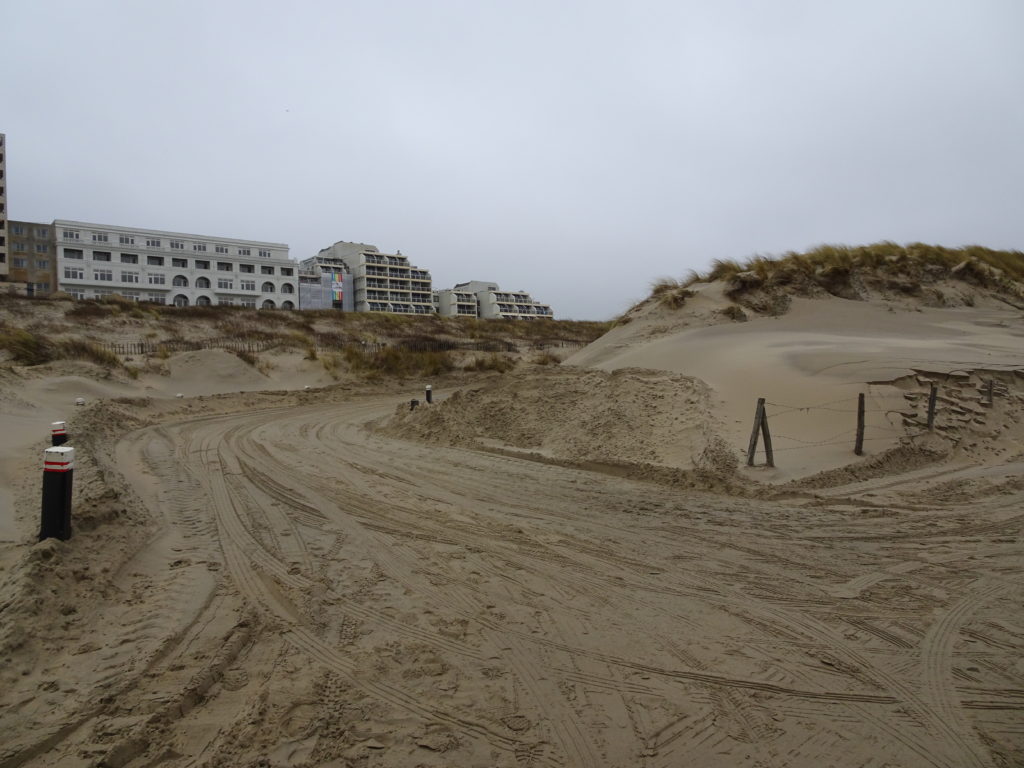
From 16 February to 21 February 2022 three storms hit the Netherlands within only five days. The storms named Dudley, Eunice and Franklin caused very strong wind with wind speeds above 20 m/s and the effects on the beach were still clearly visible one day later (22 February).