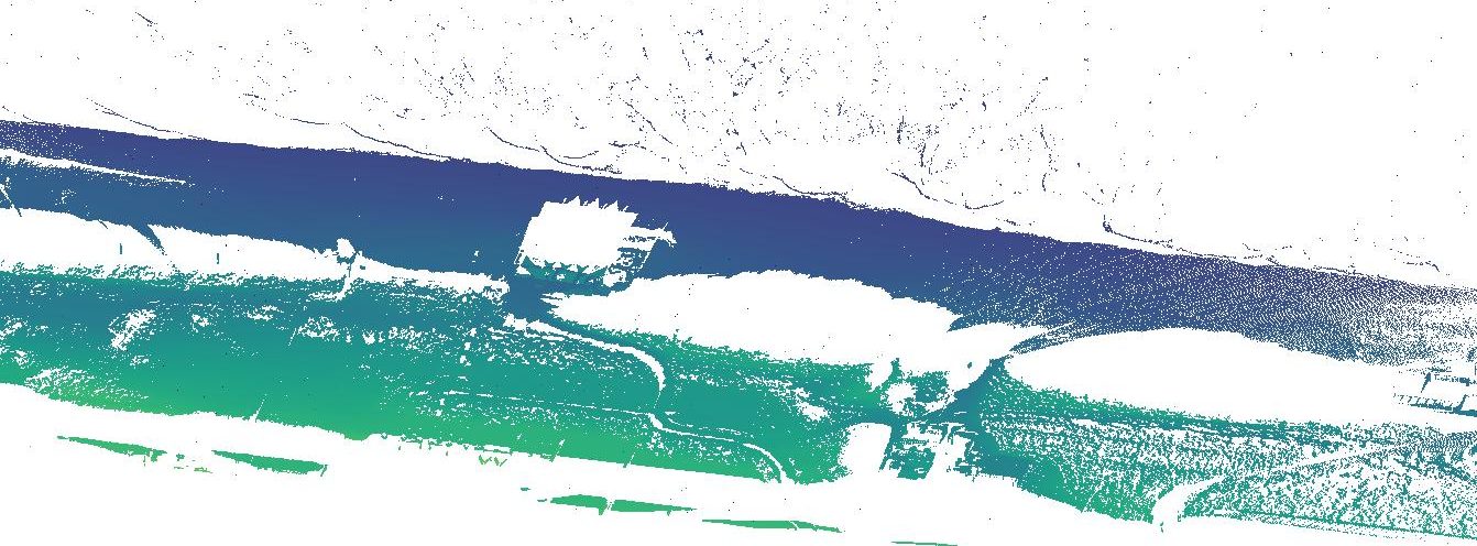
On 31st January 2022 the laser scanner is scanning under harsh weather conditions. Wind speeds above 12 m/s are reported and heavy rains hit the coasts. In the above point cloud high waves can be seen covering a large part of the usually dry sandy beach.
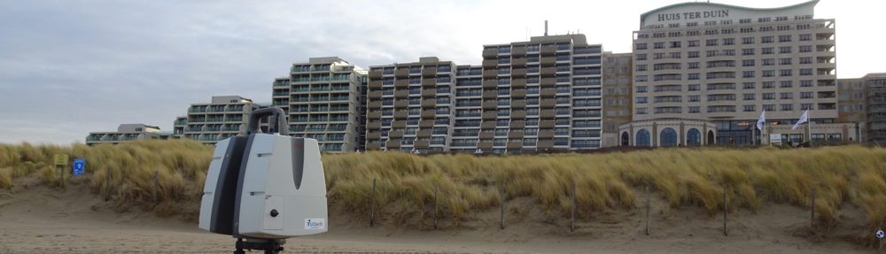
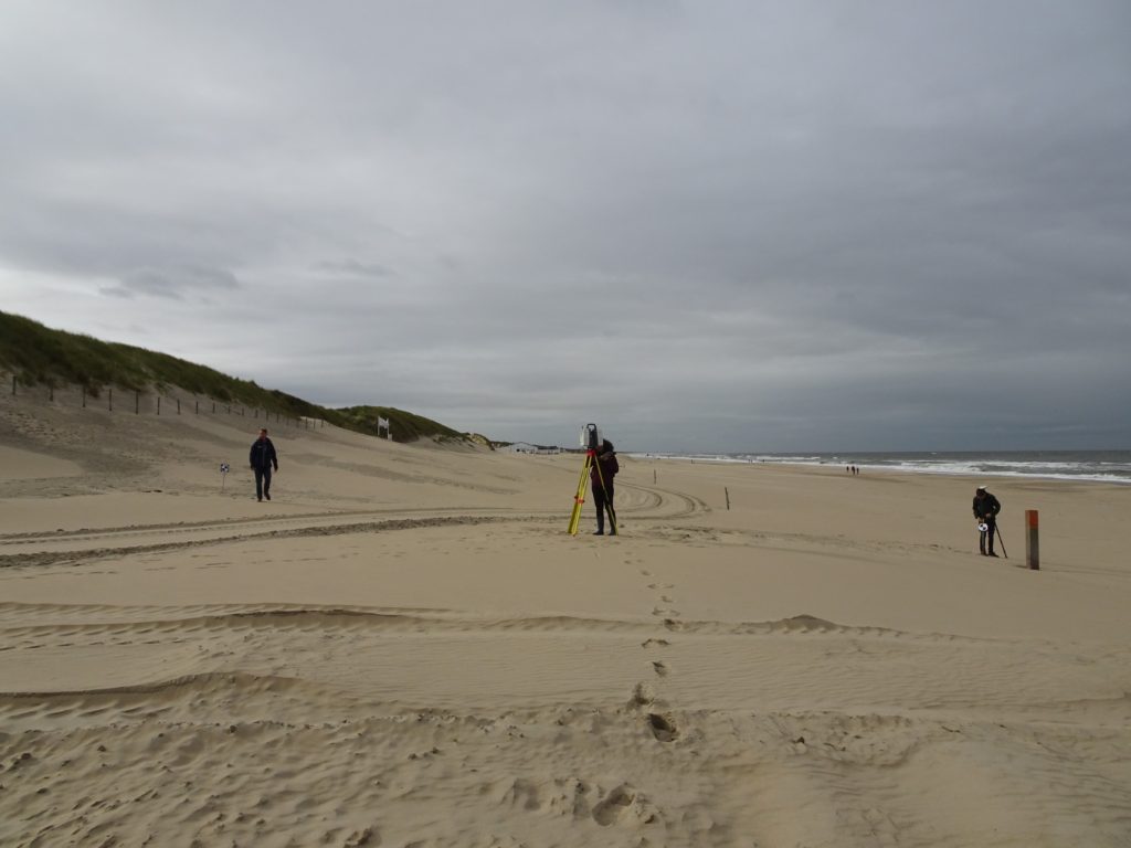
On 1st October 2021 we went with two students involved in the CoastScan project to perform our monthly scan from the beach. The dune foot is not captured by the permanent laser scanner in Noordwijk, so we regularly go to the beach to scan the dunes from the other side. K. Echeverry Caro works on filling these gaps in the data and quantifying the differences that they cause for her Bachelor thesis.
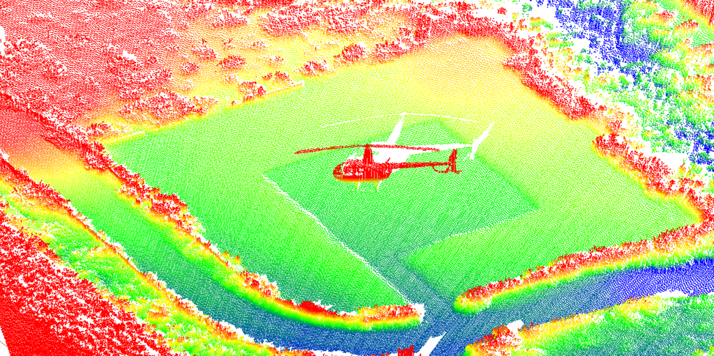
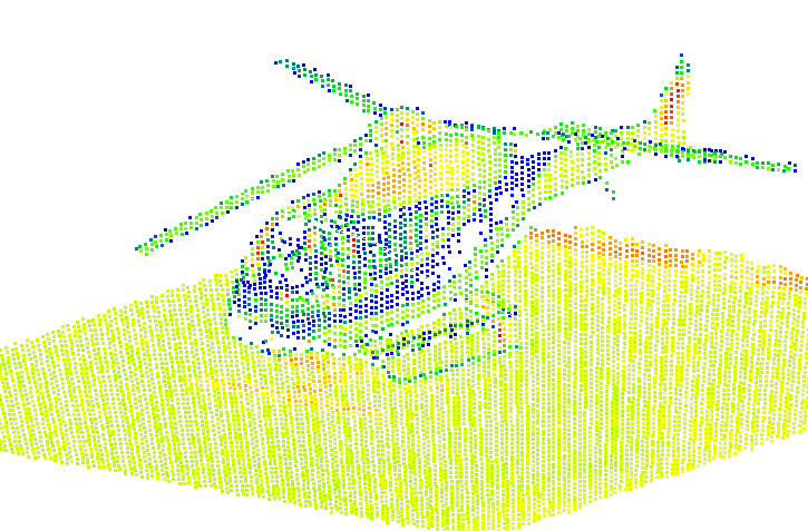
Part of the observed area in Noordwijk contains a helicopter platform in the dunes. Our research into data quality is making use of this platform as a reference surface (publication). During our research we found two helicopters that landed on the platform at two different occasions in September 2019 and in August 2020. Above the point clouds of the landed helicopters are shown colored according to elevation (left) and intensity (right).
For the course 3D surveying of civil and offshore infrastructure at TU Delft a group of students has worked on counting the people that are walking on the beach using our CoastScan data from Noordwijk. In their final report they present their method that is able to detect up to 90% of the people that are walking on the beach in an area of about 400 m length in front of the laser scanner.
Point cloud of the beach in Noordwijk with people detected by the algorithm marked in colors.
In February 2021 Y. Schreijer successfully completed her master thesis with the title: ‘Visual insight into the temporal changes of sand patterns along the Dutch coast’ under the supervision of E. Verbree and P. van Oosterom (TU Delft) and P. Goessen (Hoogheemraadschap Hollands Noorderkwartier). For her master project she used CoastScan data to visualize dynamics that influence deformation processes of the coast.
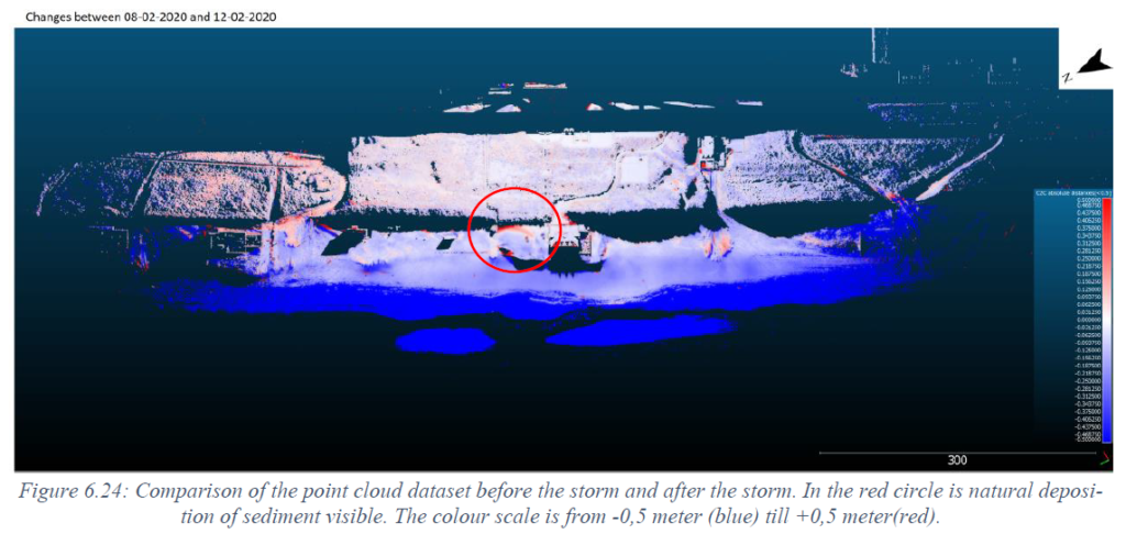
The image shows elevation differences in Noordwijk after a storm hit the coast in early February 2020. A large sand deposition is circled in red.
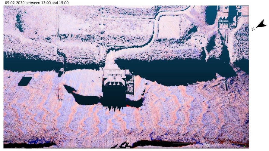
In a comparison between two consecutive scans (about one hour apart) moving sand ripples, possibly caused by aeolian sand transport due to strong winds, are made visible.
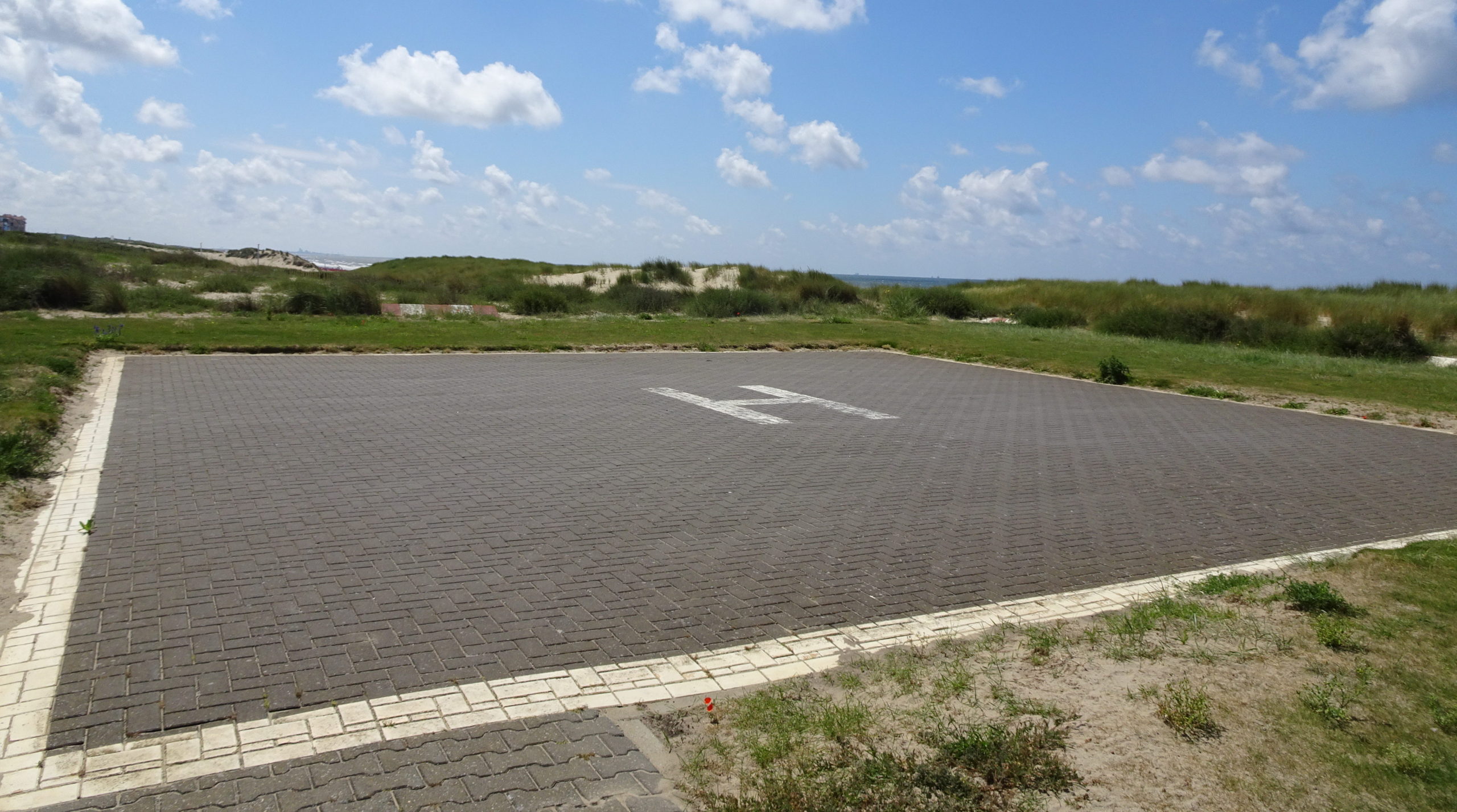
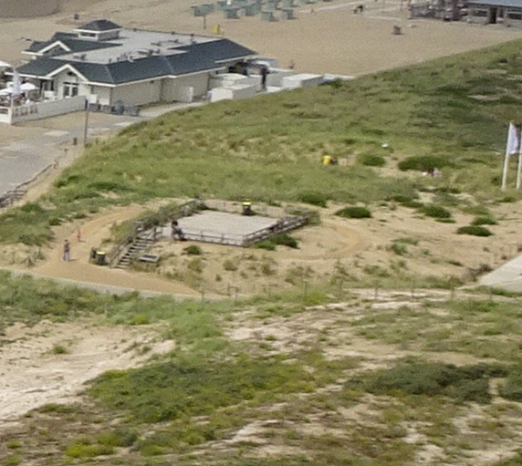
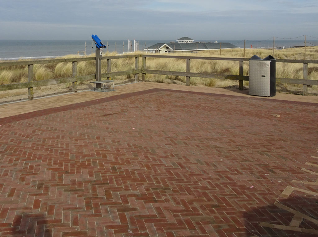
The observation deck in the dunes in Noordwijk is located to the north of our laser scanner and just within the field of view. At our monthly round, where we check on the location, take some extra scans of the dune foot and collect GPS measurements of the beach, we also measure the GPS coordinates of this observation deck. Until the beginning of this year the deck was made of wood. Now, since February 2021 the deck is paved with bricks. This will increase the stability as a reference in our point clouds. But of course, this change does not allow for comparison with the data of the deck before it was paved.
On 2nd December 2020, the laser scanner was moved from its permanent position on the balcony of hotel Huis ter Duin in Noordwijk to a new fixed position on the same balcony, but about 2 m to the North of the previous position. The move was requested by the hotel. We are now working on methods to provide a fixed transformation that can be applied to the data to remove the resulting shift.
From 25 June 2020 to 30 July 2020 there is a break in the data recorded with our permanent laser scanner. In this period the scanner was removed for maintenance activities. It was placed back on July 30th at the exact same location and is fully operational again since then.
Part of our measurements in Noordwijk for the ScanEx fieldwork campaign are ongoing. Thanks to the restrictions of the use of public beaches because of the Corona virus outbreak, the two shipping containers could remain on the beach until the end of April. The weekly scans with our mobile laser scanner around the containers are continuing, as well as some of the measurements of wave data with pressure sensors. We also continue the collection of meteorological data next to the laser scanner (after a short break at the end of March).
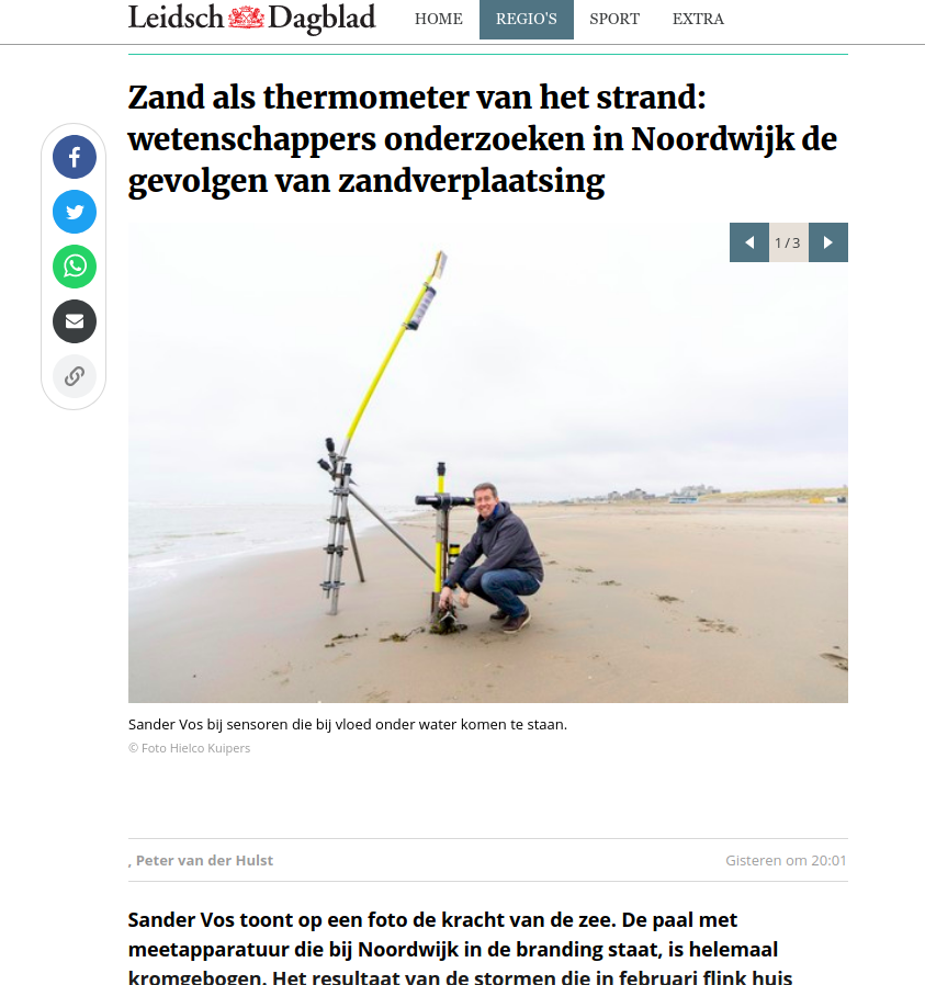
On March 25 an article about the ScanEx fieldwork campaign and our work appeared in local newspaper Leidsch Dagblad. The full article can be read here.