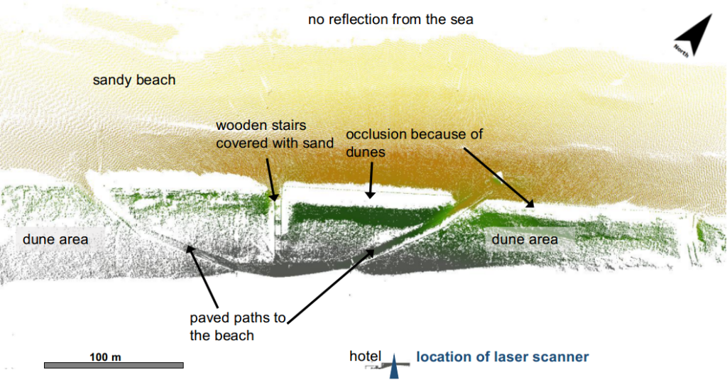
Part of our data set from Kijkduin, covering daily scans in January 2017 has been published via 4TU Research Centre: CoastScan: Data of daily scans at low tide Kijkduin January 2017 and can now be accessed online.


Part of our data set from Kijkduin, covering daily scans in January 2017 has been published via 4TU Research Centre: CoastScan: Data of daily scans at low tide Kijkduin January 2017 and can now be accessed online.
Part of our measurements in Noordwijk for the ScanEx fieldwork campaign are ongoing. Thanks to the restrictions of the use of public beaches because of the Corona virus outbreak, the two shipping containers could remain on the beach until the end of April. The weekly scans with our mobile laser scanner around the containers are continuing, as well as some of the measurements of wave data with pressure sensors. We also continue the collection of meteorological data next to the laser scanner (after a short break at the end of March).