A new visualisation of the point cloud data set from Kijkduin can be found online: Link. It was generated and published by ScanLabs Projects using our publicly available data set.
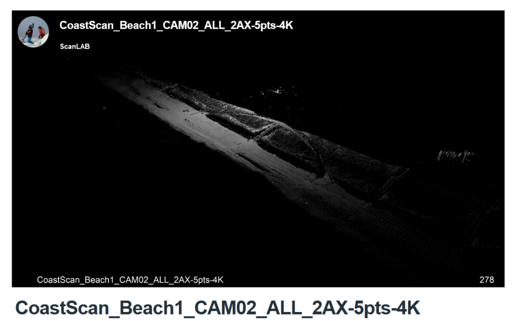
A new visualisation of the point cloud data set from Kijkduin can be found online: Link. It was generated and published by ScanLabs Projects using our publicly available data set.
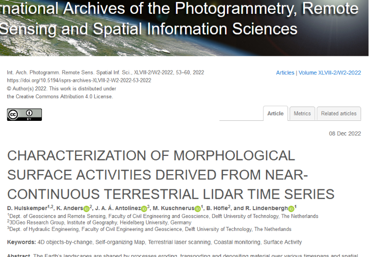
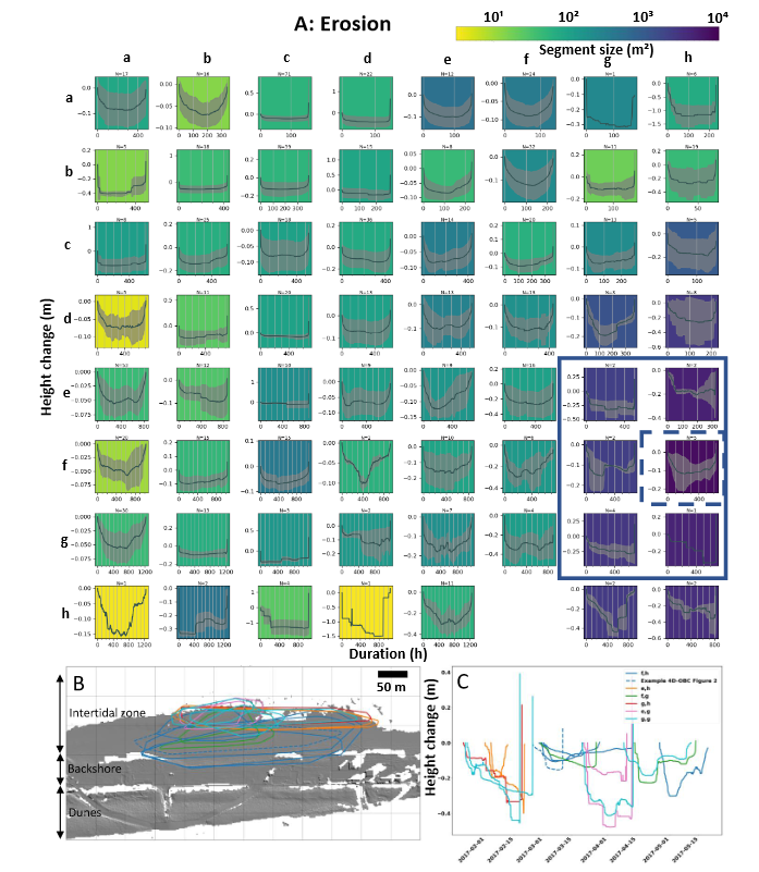
D. Hulskemper presented his work at the ISPRS workshop O3DM on 15 and 16 December 2022 in Würzburg, Germany. For his Master thesis he is working on grouping and analyzing 4D objects by change derived from the data set collected for CoastScan in Kijkduin, using unsupervised machine learning. His results allow to interpret and compare weather conditions with different types of surface activities on the sandy beach in Kijkduin. The full contribution can be read here: Link.
Today our article “A high-resolution 4D terrestrial laser scan dataset of the Kijkduin beach-dune system, The Netherlands,” (https://doi.org/10.1038/s41597-022-01291-9) by S. Vos, K. Anders, M. Kuschnerus, R. Lindenbergh, B. Höfle, S. Aarninkhof, S. de Vries was published in the nature scientific data journal.
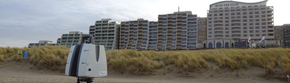
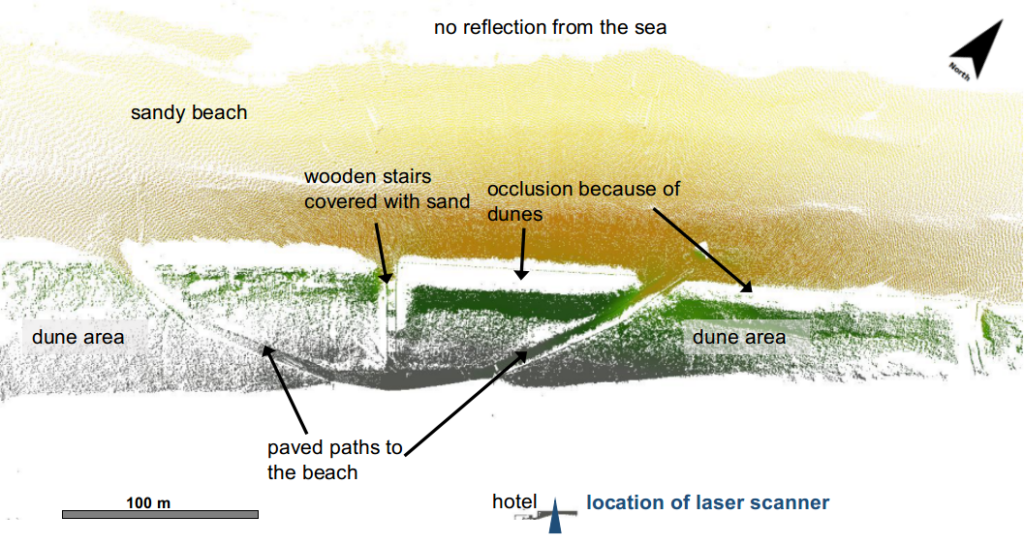
The article explains our latest data publication (https://doi.org/10.1594/PANGAEA.934058) on the PANGAEA repository for earth and environmental science data. All point clouds collected at the CoastScan location in Kijkduin during a six months observation period from November 2016 to May 2017 can be found here.
Part of our data set from Kijkduin, covering daily scans in January 2017 has been published via 4TU Research Centre: CoastScan: Data of daily scans at low tide Kijkduin January 2017 and can now be accessed online.