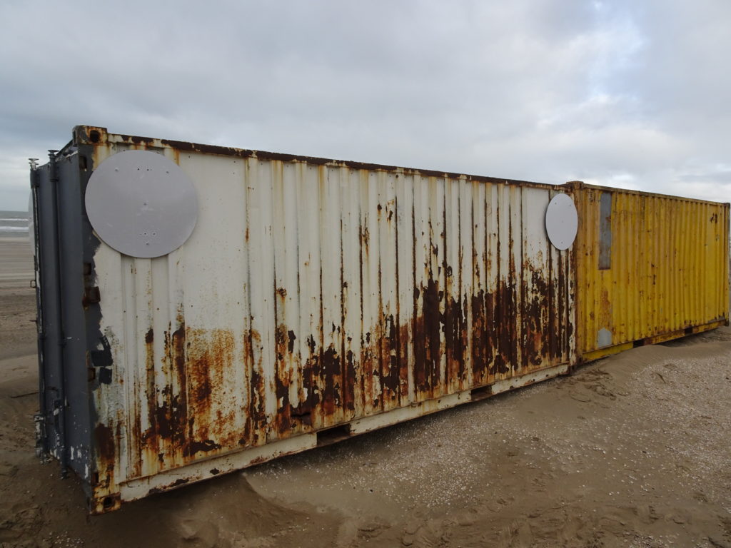
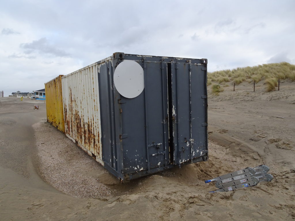
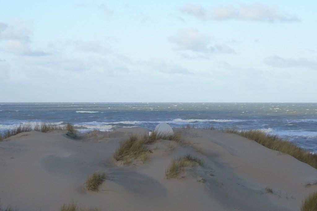
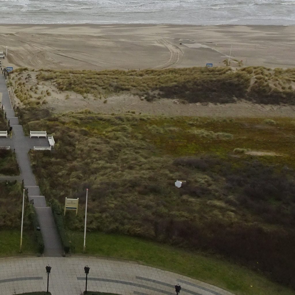
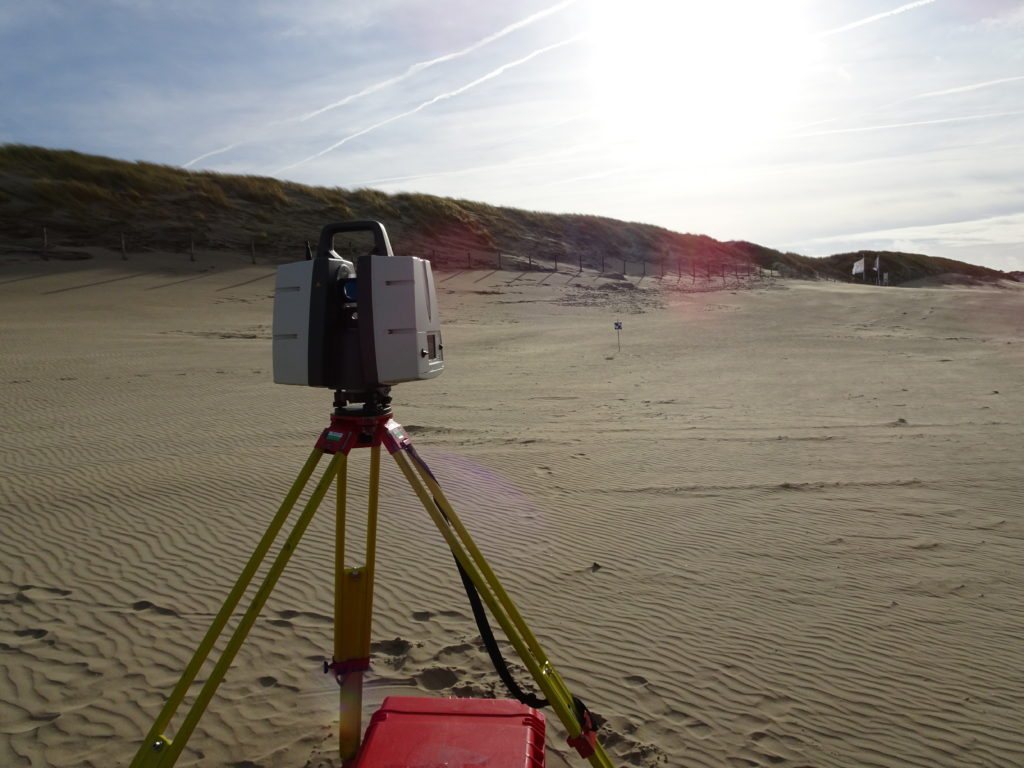
Several reflectors have been installed in the dunes and on the shipping containers on the beach. They will support the error analysis of our data from permanent laser scanning, allow calibration of our measurements and help with determining atmospheric effects on our measurements. The reflectors and supporting instruments have been provided and installed by DMT group and TU Freiberg.
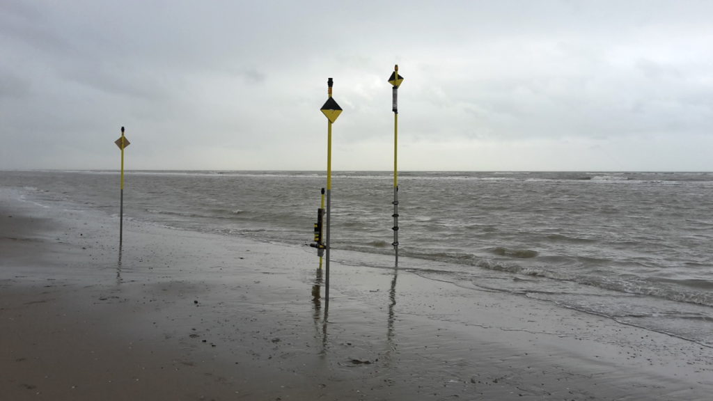
Pressure sensors to measure waves installed
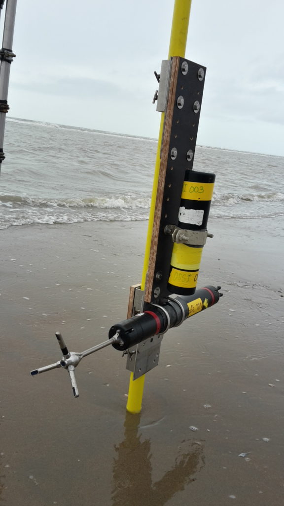
Next to our observation area on the beach, pressure sensors have been installed on large posts. With the help of these sensors the wave heights and wave lengths can be measured. This data will be used to accurately model how much sand is transported with the wave and tides towards the beach and from there towards the dunes. The combination of our laser scanner data with as many other data sources as possible gives a unique opportunity to study interactions between different influences on sand transport in our observation area and improve the knowledge of the ‘big picture’.
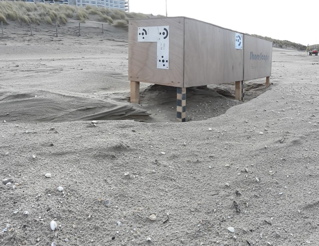
Participation of ShoreScape project with model containers
Scientists from the ShoreScape project placed two wooden boxes in a location close to our shipping containers. The boxes serve as models for the containers. Aeolian sand transport is observed both for the containers and around the boxes. This will give insights into the possibilities and issues of investigating and modelling buildings on the beach in smaller scales.
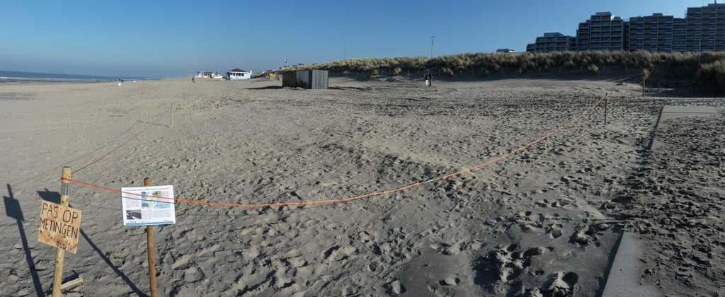
Container placed for observation of aeolian sand transport
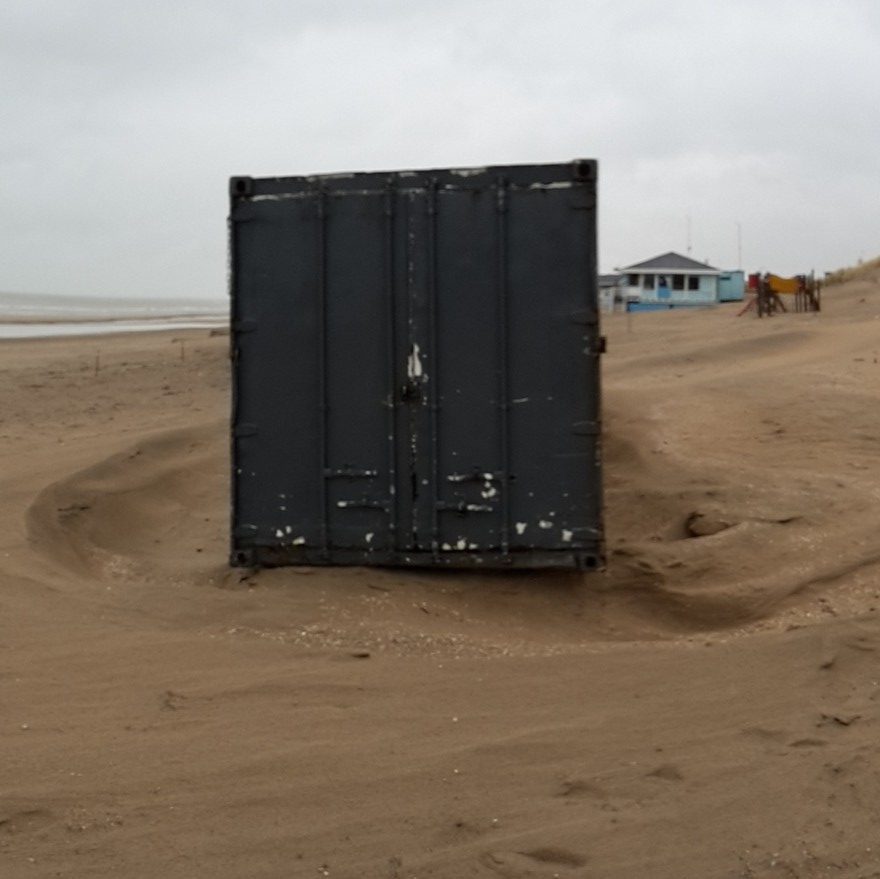
For the ScanEx fieldwork we placed two shipping containers on the beach, just in time before storm Ciara hit. We are investigating erosion patterns around the containers as a model for buildings on the beach.
We are also interested in observing how much sand is transported towards the dunes and how much of it is blocked by our containers.
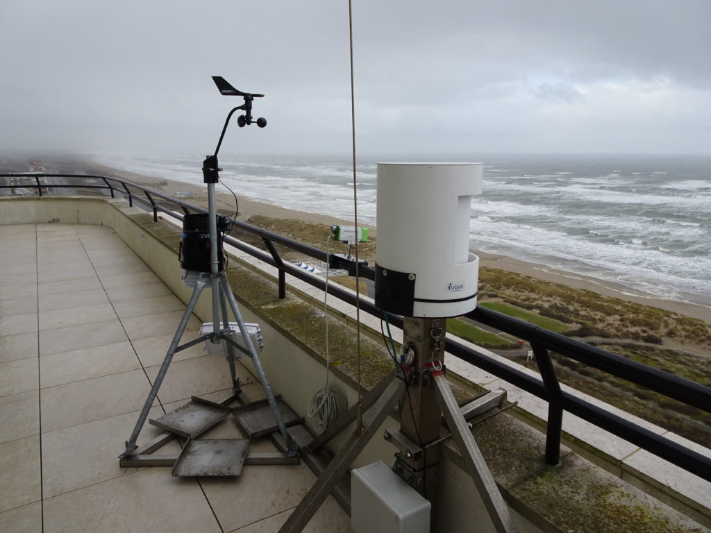
Weather Station next to laser scanner
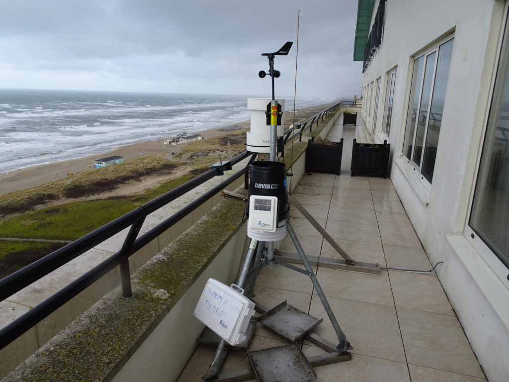
To complement our measurements from permanent laser scanning we set up a weather station next to the laser scanner on the balcony of Grand Hotel Huis ter Duin. We are monitoring wind speed and direction as well as temperature and precipitation to investigate the effects of weather conditions on our measurements. The set-up was finished just in time before storm Ciara hit the coast on 09 February.
ScanEX 2020 appears in weekendkrant
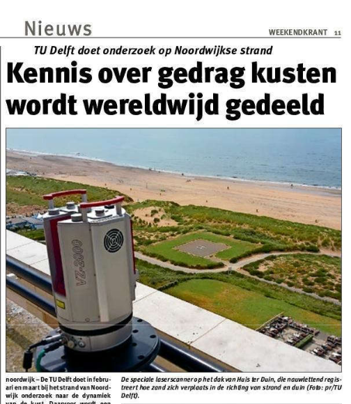
On 7 February 2020 the Weekendkrant of the region Bollenstreek reported about our fieldwork campaign. The full article can be read here.
Initial measurements before start of ScanEx fieldwork
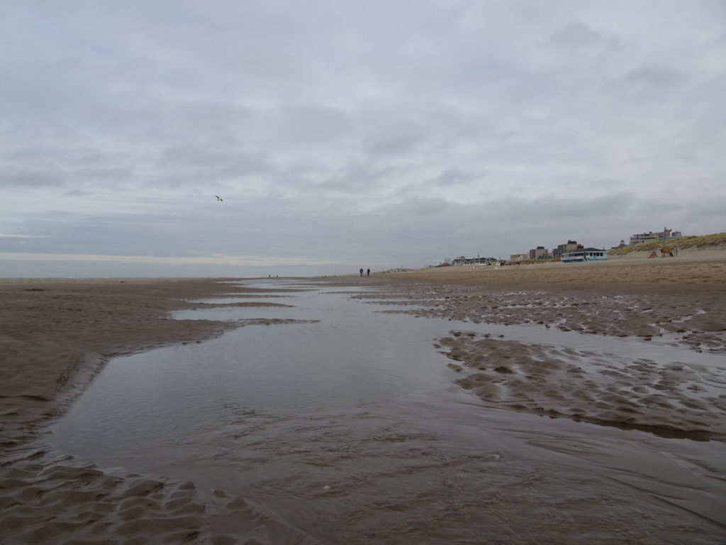
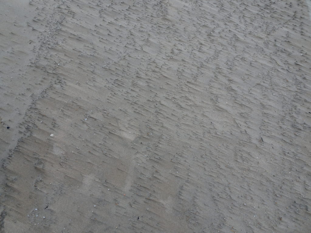
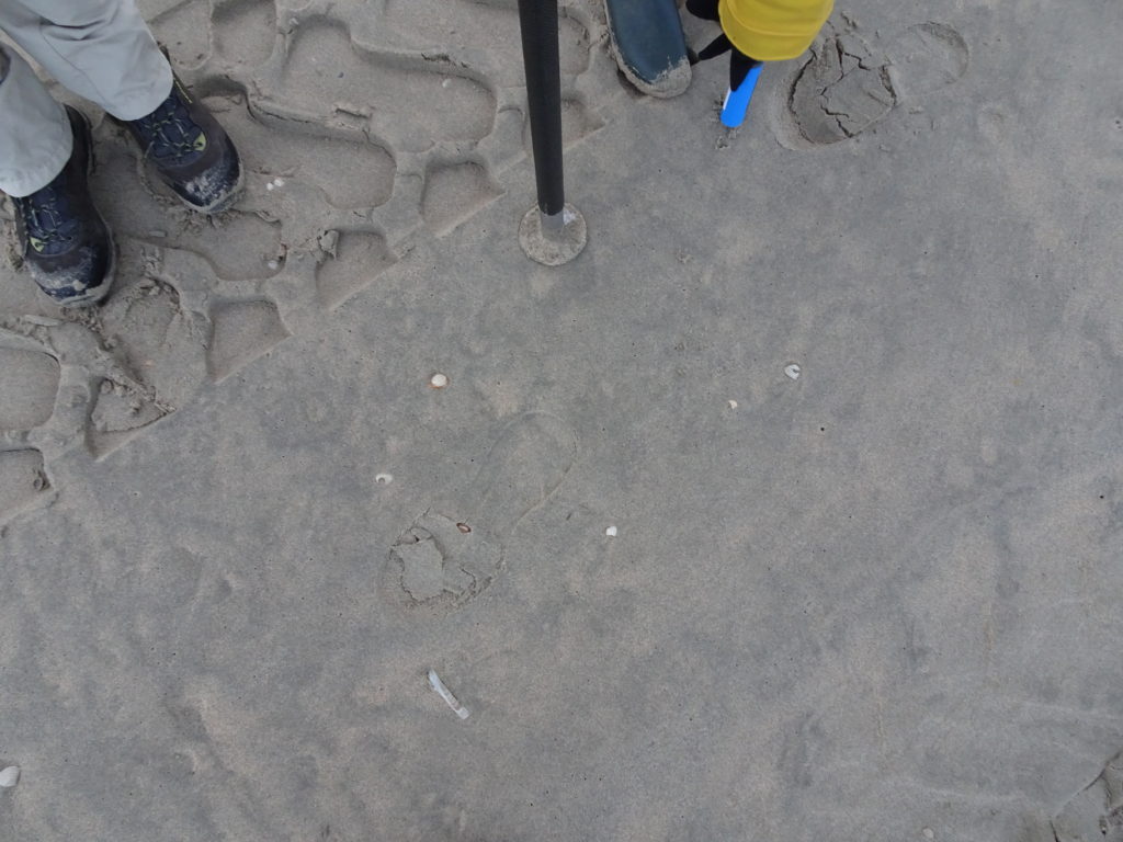
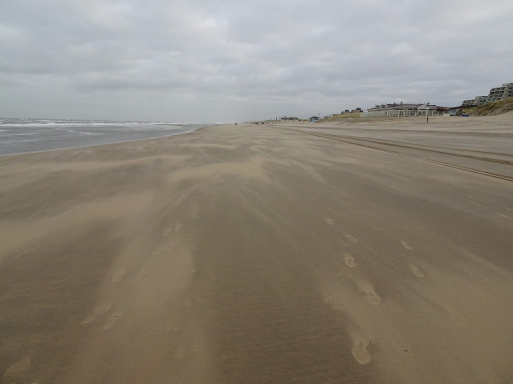
On 30 January we did some initial measurements before the official start of the ScanEx Fieldwork campaign in February. There was strong wind and lots of aeolian transport was visible. We collected sand samples and data with moisture sensors, GPS receivers and with our second laser scanner.
We are interested in measuring changes in elevation, soil moisture and surface roughness, as well as analyzing underlying processes like tides and aeolian sand transport.
First impression of Noordwijk data
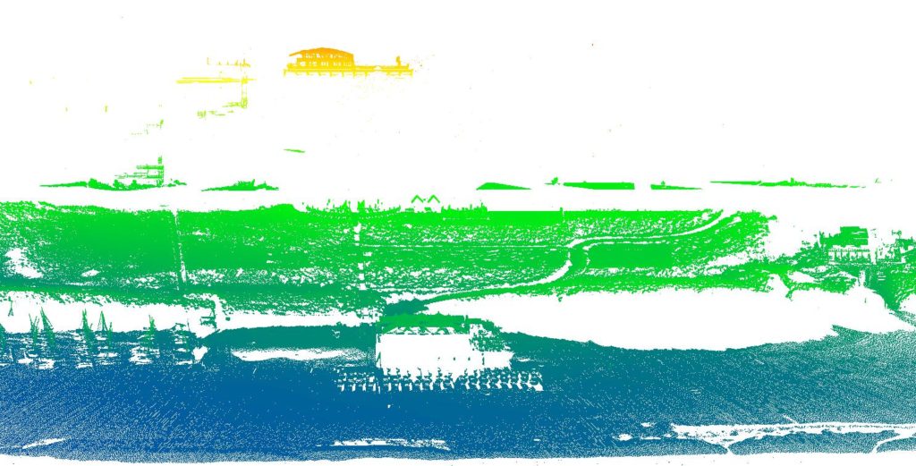
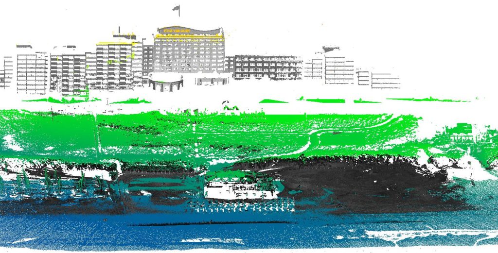
A first impression of the data taken from our current permanent set up of the laser scanner on the balcony of Hotel Huis ter Duin in Noordwijk. The left image shows the data collected with the permanently mounted laser scanner colored according to height. The gaps appear where the scanner cannot see the facade of the building and where the dune block the view on the beach. Once a month we use a second terrestrial laser scanner to collect data in these areas blocked from the view of the laser scanner. In this way, we can fill up the gaps as shown in the picture on the right.
Scanner set-up Noordwijk
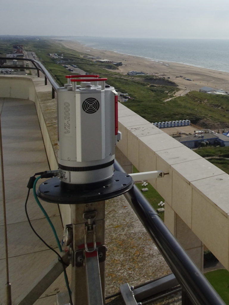
The laser scanner was set up in Noordwijk on the balcony of the top floor of Hotel Huis ter Duin in July 2019. From there the laser scanner will collect data for two years and generate our largest data collection.
In the field of view are natural dunes, the beach the intertidal zone and the beach café Breakers Beach House. The building will help with the alignment of the data and with monitoring of the data stability. It also gives the opportunity to observe the effects of bulldozers moving sand, which happens frequently around beach cafés along the Dutch coast.
Under construction
This website was started in January 2020. The CoastScan project already started with first preparations in 2016 and officially runs since the beginning of 2019. The news section still needs to be updated with previous and latest news.

