Workshop on Error Sources and Correction in PLS

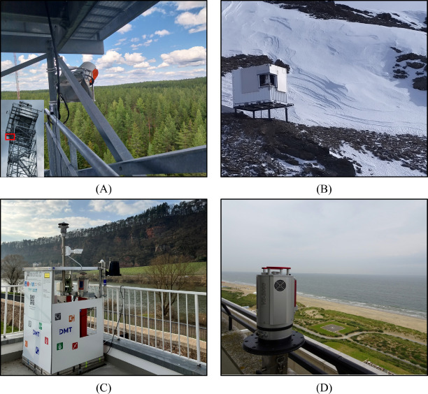
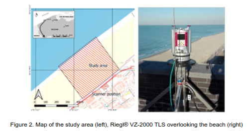
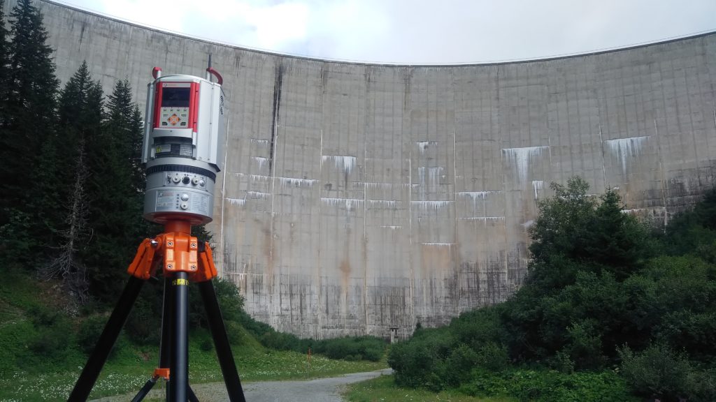
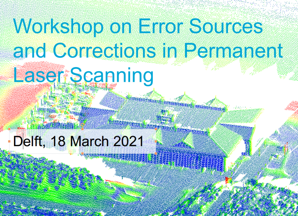
On 18 March 2021 we successfully held the first workshop on error sources and corrections in permanent laser scanning. With 28 participants from universities and companies in the Netherlands, Belgium, Germany, Finland, Austria and Switzerland, various research groups came together to share their experiences on data collection with permanently installed laser scanners. The focus on error sources and corrections as well as different applications were discussed in seven presentations. The workshop concluded with several ideas for future collaborations and the idea for a follow-up workshop. More details can be found here.

We want to thank all the speakers and participants for their contributions and we are looking forward to future collaborations.

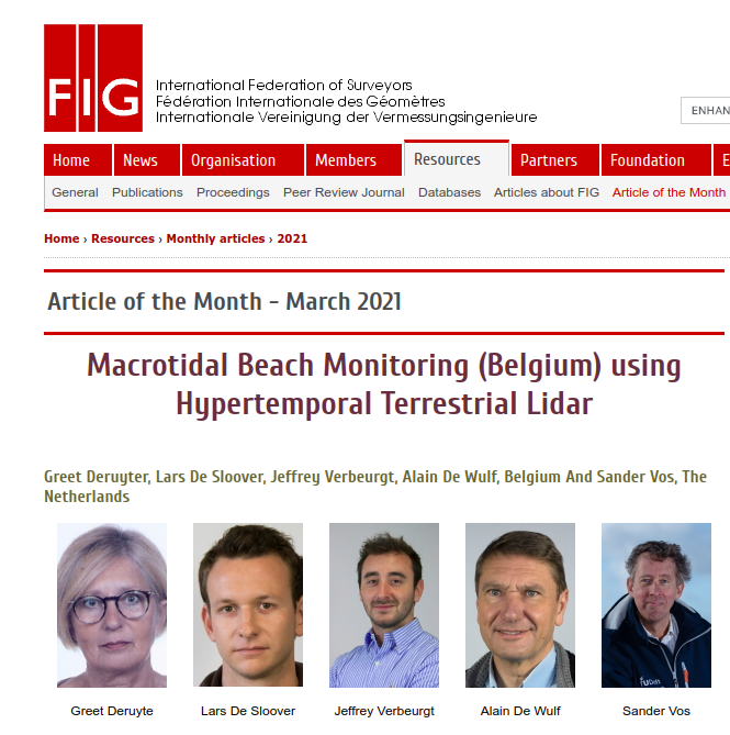
FIG article of the month March 2021 using CoastScan data

The contribution of G. Deruyte, L. De Sloover, A. De Wulf and S. Vos to the FIG Working Week 2020 was named article of the month of the International Federation of Surveyors (FIG) for March 2021. The article presents a calibration method for the PLS data set of Oostend, Belgium.

G. Deruyte, L. De Sloover, J. Verbeurgt, A. De Wulf and S. Vos, “Macrotidal Beach Monitoring (Belgium) using Hypertemporal Terrestrial Lidar, ” FIG Working Week 2020, no. 10560, May 2020. Link.

New Publications

The last months have been productive for the different research groups that are using the CoastScan data in their work. The following publications give an idea of the latest results of research related to CoastScan. A complete list can be found under publications.

Jin et al. 2021: Monitoring spatiotemporal variations in beach surface moisture using a long-range terrestrial laser scanner

Anders et al. 2021: Fully automatic spatiotemporal segmentation of 3D LiDAR time series for the extraction of natural surface changes

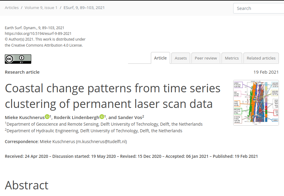
Kuschnerus et al. 2021: Coastal change patterns from time series clustering of permanent laser scan data

Poppema et al. 2021: The effect of building geometry on the size of aeolian deposition patterns: scale model experiments at the beach

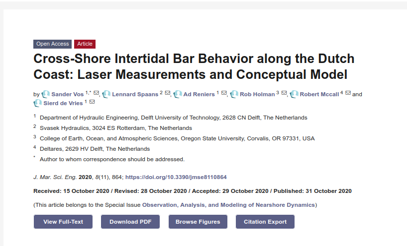
Vos et al. 2020: Cross-Shore Intertidal Bar Behavior along the Dutch Coast: Laser Measurements and Conceptual Model

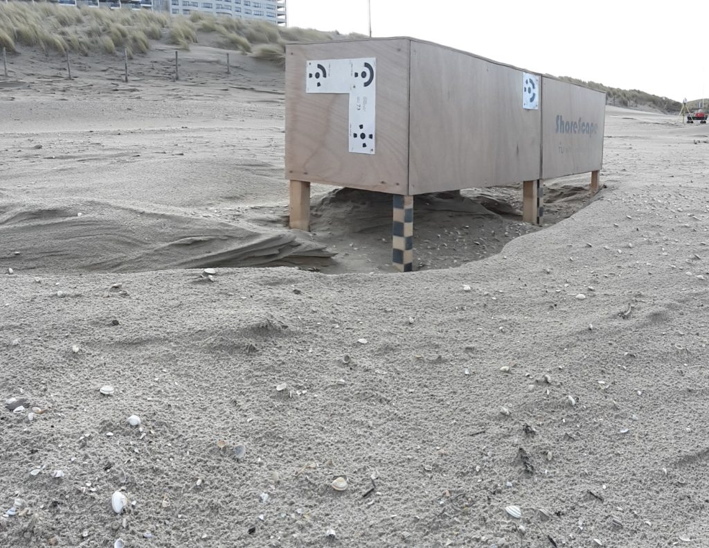
Participation of ShoreScape project with model containers

Scientists from the ShoreScape project placed two wooden boxes in a location close to our shipping containers. The boxes serve as models for the containers. Aeolian sand transport is observed both for the containers and around the boxes. This will give insights into the possibilities and issues of investigating and modelling buildings on the beach in smaller scales.

Under construction

This website was started in January 2020. The CoastScan project already started with first preparations in 2016 and officially runs since the beginning of 2019. The news section still needs to be updated with previous and latest news.