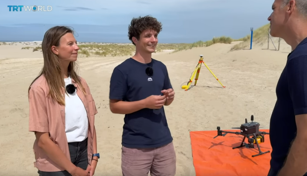
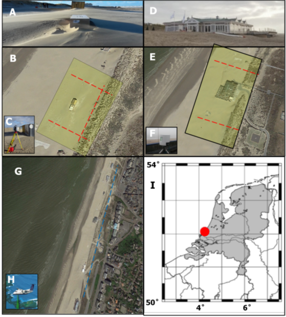
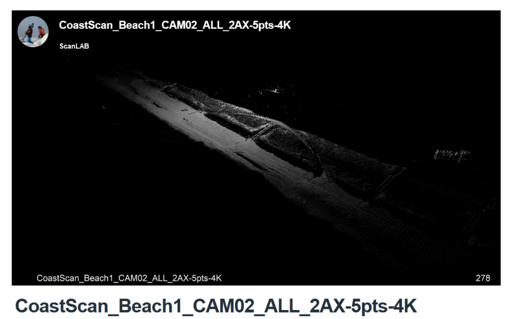
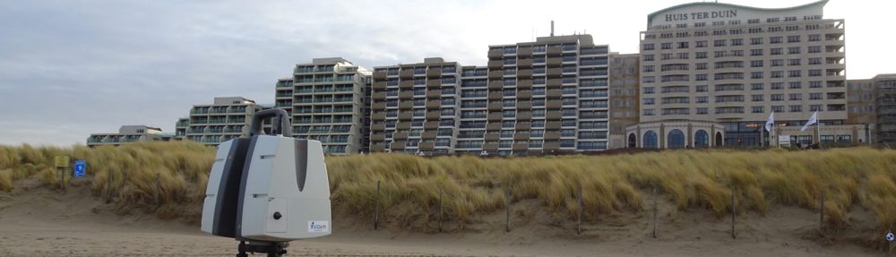
New PhD candidate on the AdaptCoast project

From the start of this year onward I, Daan Hulskemper, will be working on the AdaptCoast project as a PhD candidate at Delft University of Technology. My background lies in earth surface processes, and optical and laser remote sensing. After getting my Bachelor’s degree in Earth Sciences at Utrecht University, I did my Master’s at Delft University of Technology, in Geoscience and Remote Sensing. Here I graduated on the detection and classification of surface change dynamics in the point cloud time series acquired at Kijkduin (link). I look forward to further dive into this topic as part of my PhD journey.

My first duty as a PhD candidate will be to further explore methods for automated extraction and characterization of surface change dynamics from point cloud time series, acquired with the permanent laser scanner setups at the various CoastScan locations. Thus, expanding the knowledge and applicability of the data acquired as part of CoastScan. We will also enrich these datasets with LiDAR data acquired with a drone, and possibly other sources. Additionally, I will look into the prediction of topography changes under variations in human and natural forcing; exploring the causalities between the forcings and consequent short-term surface dynamics on the beach.

New publication of data set from Noordwijk:

Combined datasets for the article “Asynchronous dune development on a Dutch urbanized beach due to buildings and other anthropogenic influences”

doi:10.4121/05477395-f4fe-46dc-bed9-89da04c073cd.v1

S. Vos, C. van IJzendoorn, R. Lindenbergh and A. de Wulf published a part of the CoastScan data set as processed for the research article: “Asynchronous dune development on a Dutch urbanized beach due to buildings and other anthropogenic influences” via 4TU.ResearchData

Noordwijk Data Set Published

The entire PLS data set acquired in Noordwijk between 11 July 2019 and 21 June 2022 is now published via 4TU.ResearchData. The data set contains all point clouds from the hourly scans available over the three-year period. Each point cloud contains a ~1km long part of the coast (dunes and beach) in front of Grand Hotel Huis ter Duin in Noordwijk.

https://data.4tu.nl/datasets/1aac46fb-7900-4d4c-a099-d2ce354811d2/2

Published Article on Bulldozer Detection

The article by I. Barbero-GarcĂ­a was published in the International Journal of Applied Earth Observation and Geoinformation. It deals with the automatic detection of bulldozer works on the CoastScan study site in Noordwijk. The bulldozers are detected in images from video cameras and sightings are compared with changes detected in the 3D point clouds from permanent laser scanning.